 Parler
 Gab
Gab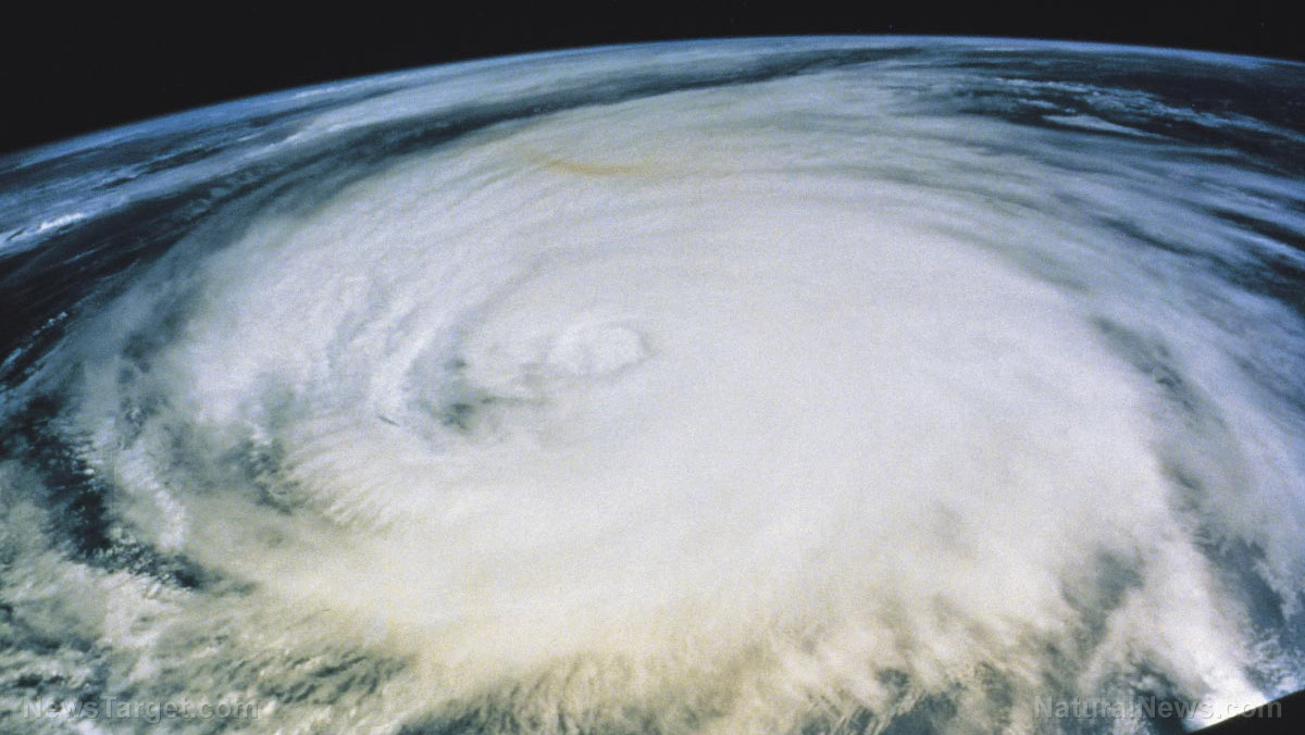
(Related: Have you checked out our report about weather modification and its consequences, both intended and unintended?)5:00pm EST radar image from @NWSKeyWest Doppler radar shows Hurricane #Rafael inland over western Cuba. #Havana is currently reporting gusts to hurricane force.
See the latest NHC advisory at https://t.co/tW4KeGe9uJ Visit https://t.co/qwaAHn9X6a for local information for the… pic.twitter.com/X56oURusUE — National Hurricane Center (@NHC_Atlantic) November 6, 2024
Will Hurricane Rafael's fury reach Helene-damaged Appalachia?
As of this writing, Rafael has maximum sustained winds of 115mph and is moving northwest at a speed of 14mph. Rafael, the 17th named storm this season, already passed by Jamaica, leaving behind little damage. Because of the situation in Cuba, the U.S. State Department is warning against travel there and offering departure flights to all non-essential staff so they can flee for safety from the island's affected provinces, which include Pinar del Rio, Artemisa, La Habana, Mayabeque, Matanzas, and the Isle of Youth." By the time it reaches the U.S. coast, Rafael is expected to weaken substantially. Current projections show the storm traveling west of Florida towards Louisiana or Texas. Some flooding is expected but it is unlikely that Rafael will bring with it the same degree of damage as Milton. "The good news is that while Rafael may well enter the Gulf as a hurricane mid-week, there is very little chance of the storm reaching land as a hurricane," commented Dr. Ryan Truchelut, WeatherTiger's chief meteorologist, to the News-Press paper out of Fort Myers, Fla. Disturbingly, there is also a chance that Rafael will still be strong enough at landfall to continue barreling north into southern Appalachia, which is still reeling from the after-effects of Hurricane Helene. Thankfully, the areas of Appalachia that were hardest-hit by Helene should stay mostly protected from Rafael based on current projections. As usual, the establishment is claiming that this rare early-November hurricane is the result of climate change. Sea surface temperatures throughout the Caribbean are still exceptionally warm, which increased the risk of Rafael forming by at least 60-fold. Right now, Rafael is the seventh Atlantic hurricane to undergo a rapid intensification process, which means the storm basically replaces itself to become even stronger, like a metamorphosis. "Some weakening is forecast while Rafael crosses western Cuba, but the storm is forecast to remain a hurricane over the southeastern Gulf of Mexico," the hurricane center reported after Rafael decreased to a Category 2 after making landfall in Artemisia, located just east of Playa Majana in western Cuba. By the end of the work week, Rafael will dump a substantial amount of rain on parts of the lower and middle Keys, but the path after that remains a mystery. Projections still seem to show a due-west travel path for Rafael into Texas, but things could change as the days progress. More related news can be found at Climate.news. Sources for this article include: Independent.co.uk NaturalNews.comGaetz appointment as U.S. attorney general triggers PANIC in the Washington, D.C. swamp
By Ramon Tomey // Share
IDF discovers videos of TORTURE conducted by Hamas against Palestinians
By Ramon Tomey // Share
Ukraine denies reports from think tank that it is months away from developing a NUCLEAR WEAPON
By Richard Brown // Share
Pentagon ‘scrambling,’ wiping evidence of DEI as Trump readies to fire woke generals
By News Editors // Share
RIOTING breaks out at Audi plant in Germany following factory closure announcement
By Ethan Huff // Share
Governments continue to obscure COVID-19 vaccine data amid rising concerns over excess deaths
By patricklewis // Share
Tech giant Microsoft backs EXTINCTION with its support of carbon capture programs
By ramontomeydw // Share
Germany to resume arms exports to Israel despite repeated ceasefire violations
By isabelle // Share

